i ECONOMY
Expert suggests regional classification of mineral zones in PakistanBreaking
December 27, 2023
The regional classification of mineral zones in Pakistan is necessary to realise the true mineral potential for socio-economic benefits. This step will not only save time and money but also prove beneficial for the investors to easily understand the location of mineral-rich zones. Abdul Bashir, Chief Geologist at ‘Koh-e-Daleel Minerals Company (Pvt) Ltd’, said this while talking to WealthPK. “To make Pakistan prosperous and debt-free, it is important to exploit its mineral wealth. The geological classification of mineral-rich zones will make the course more systematic. “To strengthen and make the mineral sector more sustainable, it is important to make things easy for the experts, investors, and miners to understand. Small workshops by the departments concerned can also be arranged to train the stakeholders. Although it is a bit time-consuming, it will show better outputs after proper framing,” he opined. To understand this topic, we have to see the geological division of the earth and the locations of other countries bordering Pakistan. Then it will be easy for the readers to understand the type of geological domains that occur in Pakistan.
Approximately, 180 million years ago, the earth was divided into three special zones. They are Laurasia, Gondwana, and the Tethyan Suture zone. Laurasia zone includes China, Russia, Mongolia, and North America. Gondwana makes up about 2/3 of the modern continental area, including South America, Africa, Antarctica, Australia, the Middle East, and the Indian Subcontinent. Between Laurasia and Gondwana occurs the Tethyan Suture zone covering the South of China, Nepal, the North of India, Northern Areas of Pakistan, bordering areas of Afghanistan up to Kabul, Tibet, Tajikistan, Uzbekistan, Kyrgyzstan, Turkey, and northeast Arctic Russia. Many areas of Pakistan fall in the Gondwana zone. It is distributed in three major parts in Pakistan: ‘a’, ‘b’, and ‘c’. The Peninsula area in Pakistan falls in ‘a’, the Himalayan mountains (deep Himalayan sites) fall in ‘b’, and the Himalayan range itself falls in ‘c’. The peninsula region consists of the Indus Basin near the Kirthar Suleiman Range extending to its eastern part – the desert area of Thar and Cholistan.
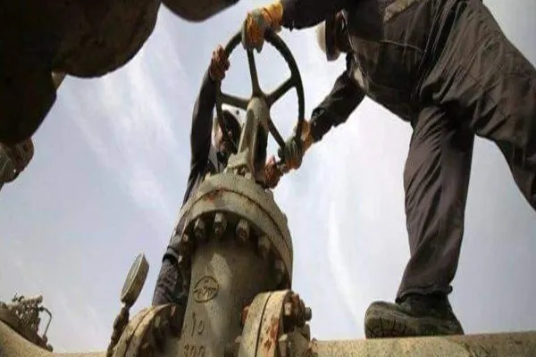
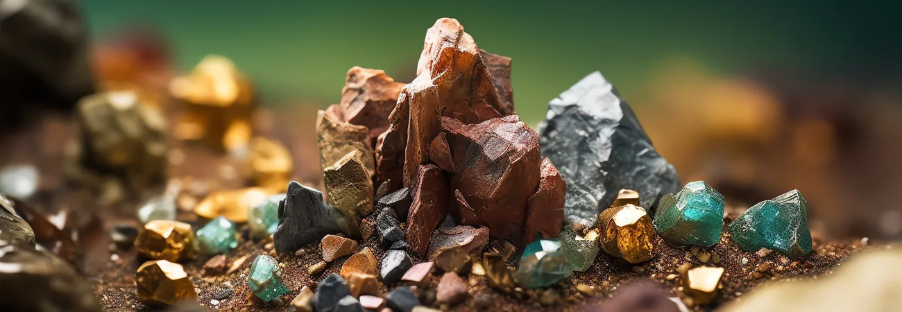
The peninsula region also covers the Potohar Salt Range, Suleiman Range, Himalayas, Hazara, and onward to the Afghanistan border. In the Northern Areas like the Himalayas, and Himalayan trans-port, they also considered the Gondwana suture zone. Many ophiolite rocks are exposed in them. The Tethyan suture zone is a vast global region in itself and it divides the whole of Pakistan into total plain and mountainous areas. The Tethyan Axial Belt related to it also covers an immense area of Pakistan. It falls in the Gondwana region with an irregular width of about 100-200 kilometres. It stretches from the south of Pakistan, starting from the Indus Basin, including Karachi, Indus Basin and then branches off into Kirthar to Cholistan in the east and Kirthar to Suleiman Range in the west, which includes Hub, wad, Buner, Khuzdar, Kalat, Quetta, Muslim Bagh, Qila Saifullah, Zhob, and Waziristan up to the Northern areas. The Tethyan belt covers the eastern side of Pakistan from Karachi to Islamabad, including the plains of Kirthar and Dadu. The Axial belt abounds in mirabilite, sea melange, ophiolites, metamorphic and igneous rocks. Both the igneous and metamorphic rocks occur in the Northern Areas. In the Indus Basin, mostly, fuel, gas, copper ore, and coal are found.
Mingora and Kalam are rich in igneous rocks with the association of metamorphic rocks. Sedimentary rocks also occur there. Gemstones are a special feature of these areas. In the western part of the Axial belt, some other mineral-rich important geological belts are located like Kharan flesh, Raskoh arc, and Chagai, also called the Chagai Magnetic Belt or Chagai arc. The area from Kharan to Gwadar is called the Kharan Flesh. It includes Panjgur and Turbat. The rock formation here is sedimentary, so no igneous activity happens here. In these areas, the occurrence of metallic minerals is far less, while great chances exist for the occurrence of petrol, gas, and oil. The Raskoh area also consists of metamorphic, sedimentary, and igneous rocks. Mostly, gemstones and metallic minerals occur here. The Chagai magnetic belt or Chagai Arc mostly consists of igneous rocks and is considered highly viable in metallic minerals. Concluding the discussion, Bashir said it was a little brief but for the related persons, it was a portal to identify the areas, especially for those who were not geologists but somehow related to this sector.
Credit: Independent News Pakistan (INP)
Related News