


INP-WealthPk

Shared mountains, shared risks: Can Himalayan countries build a joint disaster warning network?
September 11, 2026
By Azam Tariq
Himalayan countries need stronger links between their national early-warning systems as glaciers, rivers and cascading mountain hazards cross political boundaries, experts say, stressing that improved monitoring must be matched by faster cross-border data exchange and effective last-mile communication.
Regional cooperation does not have to start from scratch. According to Nepal's Ministry of Foreign Affairs, Nepal and China already maintain regular real-time exchanges of hydrological and meteorological data and information on floods, avalanches, glacial lakes and other water-induced disasters.
The International Centre for Integrated Mountain Development's (ICIMOD) Hindu Kush Himalayan Hydrological Cycle Observing System has also brought together Bangladesh, Bhutan, China, India, Nepal and Pakistan to improve real-time hydrological observations and regional flood information.
However, ICIMOD says bilateral arrangements remain necessary but are insufficient for disasters operating at a transboundary scale.
The need for stronger regional coordination has gained fresh relevance following the August 26 disaster along the Nepal-China border.
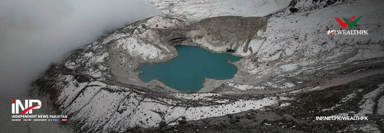
According to China's Ministry of Natural Resources, preliminary analysis found that a high-altitude glacier collapse in Nepal triggered a chain of ice and debris flows that struck Gyirong Port in China's Xizang Autonomous Region. The debris flow was estimated to have travelled at an average speed of over 50 metres per second.
Speaking to Wealth Pakistan, Muhammad Arif Goheer, Executive Director of the Global Climate-Change Impact Studies Centre (GCISC), said Himalayan countries shared the same mountain systems and therefore also shared many of the risks originating from them.
“If the pain is common, then everyone should accept that the pain is common and the solution will also be common,” he said.
Goheer called for stronger collaboration among countries including Pakistan, Nepal, Bhutan and China to address risks originating in shared mountain systems.
Goheer said early warning should not depend on a single source of information. Satellite data, ground observations, automatic weather stations and radar should be integrated through a central mechanism capable of converting scientific information into location-specific warnings.
“The purpose of the early warning system is not just to generate information,” he said, stressing that its effectiveness ultimately depended on whether an alert reached the “last mile”.
Warnings should reach local administrations and vulnerable communities in time, he said, while safe passages, evacuation locations and community drills should be identified in advance so people would know how to respond when danger was detected.
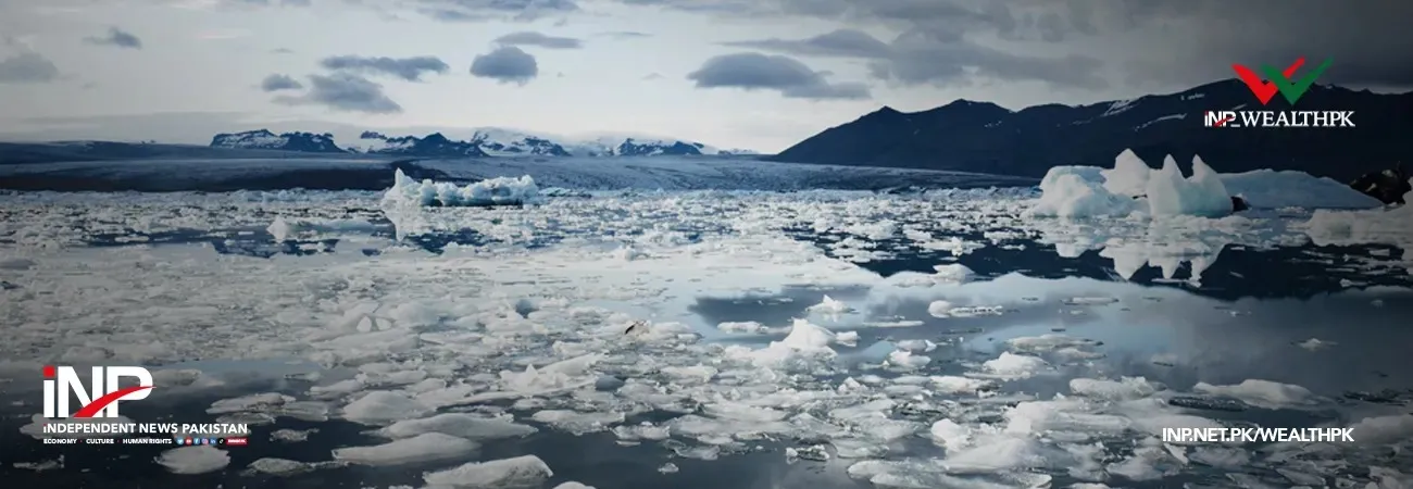
Dr Sher Muhammad, Remote Sensing Specialist and Cryosphere Monitoring Lead at ICIMOD, told Wealth Pakistan that satellite observations showed a clear overall pattern of glacier retreat and ice loss across the Hindu Kush Himalaya, although rates varied significantly across regions.
ICIMOD's 2026 assessment of 38 monitored glaciers records cumulative mass loss of 23.95 metres of water equivalent between 1974 and 2023, with the rate of wastage increasing sharply after 2000.
Muhammad said retreating glaciers, expanding glacial lakes and changing slope conditions could create environments where ice, rock, water and sediment interacted to produce cascading hazards.
However, he cautioned against assuming that every individual disaster could automatically be attributed to climate change.
“We need to distinguish between the long-term conditions that increase risk and the immediate trigger of a particular event,” he said, noting that individual failures could involve rock instability, meltwater, rainfall, temperature changes or loss of glacier support.
Engineer Asad Mahmood, Chief Executive Officer of ESG Nexus and Global Tech Innovation and Technical Advisor on Adaptation and Sustainability, told Wealth Pakistan that predicting the exact moment of a sudden glacier or rock-ice collapse could remain impossible because some failures can develop within seconds or minutes.
He said a more realistic objective was to identify high-risk glaciers, lakes and slopes in advance and model how quickly debris flows could travel towards downstream communities once a failure occurred.
Mahmood said no single monitoring technology would be sufficient. Satellite imagery, radar, seismic and infrasound sensors, automated river monitoring and slope sensors should work together, supported by redundant communication systems, particularly in remote high-altitude areas.
He proposed a Himalayan multi-hazard early-warning network linking nationally owned systems through agreed cross-border protocols and common alert procedures.
Artificial intelligence could help analyse multiple data streams, he said, but its effectiveness would depend on reliable real-time ground observations and adequate cybersecurity safeguards.
Dr Alton C. Byers, Senior Research Associate at the Institute of Arctic and Alpine Research (INSTAAR), University of Colorado Boulder, said regional monitoring should be accompanied by practical measures to reduce exposure at the community level.
He emphasised identifying high-risk mountain areas for regular monitoring, avoiding construction in exposed flood plains and ensuring that vulnerable communities had evacuation plans and emergency escape routes.
Byers said such measures were particularly important because monitoring technology could improve preparedness but could not guarantee the advance prediction of every sudden mountain hazard.
Goheer said stronger regional information-sharing, connected monitoring systems and effective last-mile communication could give downstream authorities and communities valuable time to respond when hazards developed across borders.

Credit: INP-WealthPk