INP-WealthPk
Satellite technology strengthens agricultural planning, food security in Pakistan
June 03, 2026
By Azeem Ahmed Khan
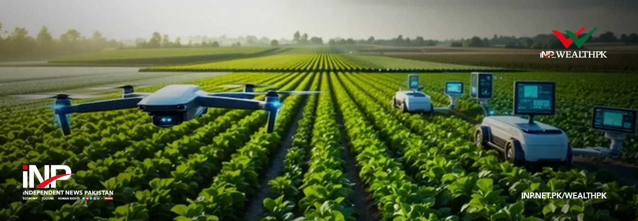
Pakistan is increasingly using satellite technology and artificial intelligence to strengthen agricultural planning and food security, with advanced crop monitoring systems developed by SUPARCO providing real-time insights for crop assessment and policymaking, according to the Year Book 2024-25 released by the Ministry of National Food Security and Research.
The report, available with Wealth Pakistan, highlighted that satellite remote sensing has become an important tool for mapping and monitoring agricultural resources across the country. Through the use of multi-date and multi-resolution satellite imagery, SUPARCO has been supporting crop classification, crop health monitoring, cultivated area estimation and yield forecasting for major and high-value crops.
According to the Year Book, satellite-generated information combined with field validation surveys is helping produce reliable geospatial data on crop production before harvesting, enabling policymakers to make timely decisions related to food security and agricultural management.
The report noted that SUPARCO acquires satellite images covering Pakistan’s crop-growing zones according to seasonal crop calendars. The organization also gathers agro-meteorological information, including rainfall patterns, humidity levels and irrigation water availability from relevant departments to improve forecasting accuracy.
Using geospatial techniques and field-based information, SUPARCO processes temporal satellite imagery to estimate crop areas and forecast production through crop health indices and agro-meteorological parameters. The system also conducts satellite-based crop damage assessments during natural disasters and incorporates the findings into overall production estimates.
The Year Book stated that the Ministry of National Food Security and Research approved SUPARCO’s project titled “Geospatial Monitoring of Major and High Value Crops” in September 2020 to establish satellite-based systems for estimating crop area, yield and production of key crops, including wheat, rice, sugarcane, cotton and maize.
The project also included research and development efforts aimed at satellite-based estimation of high-value and minor crops such as mungbean, chilies, rapeseed, mustard, banana, mango and citrus fruits.
According to the report, SUPARCO successfully generated crop estimates for the Kharif and Rabi seasons from 2020-21 to 2023-24 and shared the findings with the Ministry of National Food Security and Research. These estimates were presented at meetings of the Federal Committee on Agriculture during the respective crop seasons.
The report also highlighted SUPARCO’s efforts to strengthen institutional capacity through training initiatives for officials of relevant departments. Four training programmes on geospatial crop monitoring were conducted, covering satellite-based area estimation, yield modelling and the practical use of satellite data processing systems.
To further strengthen provincial Crop Reporting Services, SUPARCO provided technological support, including workstations, laptops, tablets, cameras, printers and remote-sensing software to stakeholders.
The Year Book further noted that SUPARCO has continued issuing monthly satellite-based crop situation bulletins. These publications provide updates on crop conditions, irrigation water supply, fertilizer availability, agro-meteorological conditions, farmer advisories and crop damage assessments during natural disasters.
In another major development, SUPARCO recently introduced a comprehensive GEO-AI platform aimed at improving agricultural monitoring and assessment capabilities through artificial intelligence and digital technologies.
According to the report, access to the GEO-AI platform has been shared with the Ministry of National Food Security and Research and the Pakistan Bureau of Statistics, allowing relevant institutions to access crop estimates and digital crop layers for informed decision-making at both the macro and micro levels.
The Year Book said the availability of digital crop layers and AI-supported crop masks is expected to improve the accessibility of agricultural information while enhancing the accuracy and efficiency of crop-related data analysis across Pakistan.

Credit: INP-WealthPk
Related Articles