i NEWS PAK-CHINA
China-Pakistan Drone Technology workshop held to boost geospatial researchBreaking
November 20, 2025
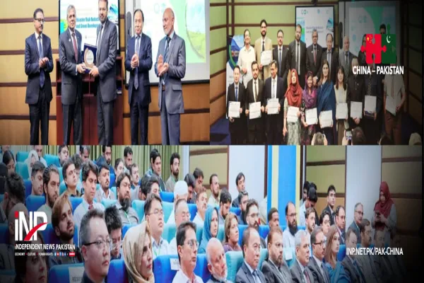
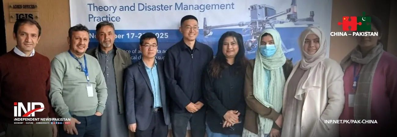
Faculty members from Karakoram International University (KIU) took part in an advanced technical workshop on drone technology for remote sensing. The training was jointly organized by the China-Pakistan Joint Research Center (CPJRC) and the National University of Sciences and Technology (NUST). The venue of the workshop was Institute of Geographical Information Systems (IGIS), NUST, Islamabad. According to KIU, the program offered hands-on instruction in drone-based data collection, advanced geospatial processing and environmental monitoring.
The university said participants learned how drone systems can support natural hazard assessment, precision mapping, glacier and watershed monitoring, land-use planning and climate resilience efforts. According to a Gwadar Pro's report, KIU representatives, Dr. Aftab Khan, Syed Najam ul Hassan and Dr. Garee Khan, joined scientists and engineers from Pakistan and China to explore opportunities for collaborative research, data sharing and technological innovation aimed at strengthening geospatial capabilities in mountainous regions such as Gilgit-Baltistan.
The faculty members highlighted the growing importance of drone-enabled remote sensing for evidence-based decision-making and sustainable development planning in the north. The initiative, KIU said, is part of its broader effort to expand research capacity in geospatial sciences and emerging technologies. KIU expressed appreciation to CPJRC and NUST for providing a platform that supports skill development, knowledge exchange and international scientific cooperation.
Credit: Independent News Pakistan (INP) — Pak-China
Related News