INP-WealthPk
Geological mapping underway to detect minerals potential in Balochistan
March 13, 2023
The government is using funds totalling Rs100 million during the current fiscal year to promote a current project of the Petroleum Division for the geological mapping of 50 toposheets of the outcrop region to detect minerals potential in Balochistan province
Some 30 million rupees were allotted for the project last year under the Public Sector Development Programme. Of the 354 unmapped toposheets in Balochistan, 50 geological mappings of toposheets in the outcrop area are being done as part of the project. According to a formal document available with WealthPK, the geological maps offer a bird's eye perspective of the surface and (subsurface) distribution of various types of rocks and economic minerals present in a certain region.
The Geological Survey of Pakistan (GSP) hopes to create a database through the mapping in order to conduct further research into the probable occurrences of dimension stones, aggregates, and limestone reserves for the industry. According to the GSP in the project details, these maps are crucial for all upcoming detailed geological projects, including those involving the exploration of minerals, civil engineering, soil surveys, land use, town planning, groundwater, earthquake hazards, environmental geology, and soil conservation.
The majority of demands, including those involving research in stratigraphy, structure and tectonics, sample collection for laboratory studies, mineral evaluation, and identification of promising areas for additional exploration of natural resources, seem to be best satisfied by geological maps of 1:50,000 scale, according to experience across the globe.
The document states that Balochistan has an overall outcrop area of 335,360 square kilometres (524 toposheets), of which 108,800 square kilometres (170 toposheets) have been mapped and the maps have been published at a scale of 1:50,000. Under this project, the outcrop region with the most promising mineral potential would be mapped. The knowledge obtained from this mapping would then be applied to the rest of the outcrop area.
The GSP states in the document that the project would help map the outcrop area in detail at a scale of 1:50,000 and maintain a database for future exploration of the potential for metallic and non-metallic mineral occurrences, dimension stones, aggregates, and limestone reserves for the industry in targeted potential areas of Balochistan. A database will be created using the data gathered as a result of geological mapping and laboratory testing of rock samples, which will be used to interpret each unique occurrence of mineral deposits and other natural resources.
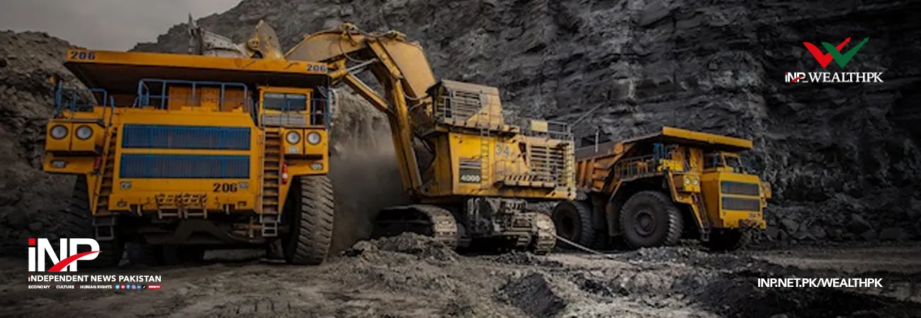
The studies would serve as a foundation for the exploration of mineral resources using additional geoscientific research projects like geophysical surveys and geochemical studies, which would be followed by drilling operations, and they would significantly contribute to the growth of the mining and mineral sector.
Credit: Independent News Pakistan-WealthPk
Related Articles